The City of Philadelphia Department of Aviation’s Geographic Information System (GIS) team celebrated Worldwide GIS Day by providing an update on Philadelphia International Airport’s (PHL) and Northeast Philadelphia Airport’s (PNE) recent and current projects.
GIS Hub
The GIS team has launched a new GIS Hub, an easy-to-use online platform that organizes and centralizes airport-related data for Department of Aviation employees. Users can quickly explore GIS data from both PHL and PNE airports, gain a clear view of available data, identify any gaps, and share information. The hub is also designed to be easily modified and updated, allowing it to grow and adapt as the airports' data needs evolve.
PHL Tree Inventory
Last summer, PHL teamed with Hopeworks on a street-level inventory of trees at PHL and select surrounding areas. Hopeworks is a nonprofit organization that train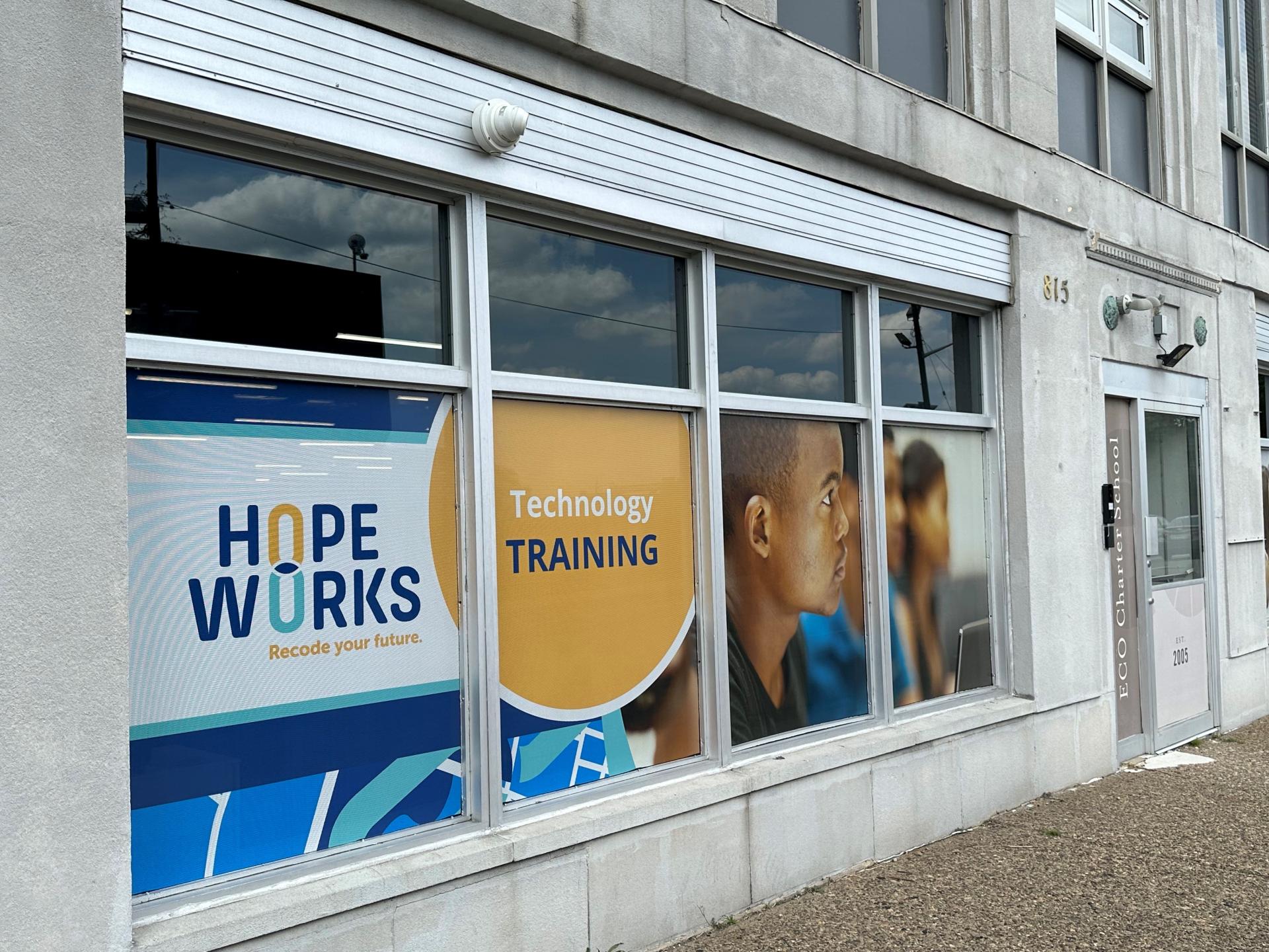 s young adults through career exposure, technical skills, and on-the-job experience that will help them achieve a long-term career that puts them on a path of financial stability.
At PHL, the team worked with a certified arborist, to collect data and locate each individual tree using GPS technology, an identification process through the tree’s common name, scientific name, and family, the diameter and height of the tree, its condition, and more.
PHL Gate Tool Refresh
The GIS team conducted an assessment to update PHL’s current Gate Tool, which was created in 2018. The new reimagined Gate & Apron Mapping Application (GAMA) provides updates on every gate, jet bridge and apron across all terminals as soon as data is entered, including the age of assets, what assets require replacement, what assets have been replaced, and what type of airplanes can be accommodated at which gates.
GIS Indoor Mapping Initiative
The GIS Indoor Mapping Initiative was developed to maintain digital floor plan data that can be easily shared with various PHL stakeholders to support business operations. This tool enables the use of data in applications for a wide range of purposes, including asset inventory and management, space planning, navigation, and more. The indoor viewer serves as the Department of Aviation’s primary interior navigation application for the airport, offering detailed maps for Terminals A West through F. This interactive platform provides an in-depth view of PHL, allowing users to seamlessly switch between terminals and levels. Additionally, the system offers exact location data and includes useful information, such as hours of operation and contact details for concessions.
Using Internet of Things (IoT) Devices
IoTs are objects that have sensors which allow them to connect and exchange data with other devices. PHL’s Maintenance and Facilities teams use IoTs’ remote monitoring capabilities to detect if equipment such as escalators, moving walkways, elevators, and watermain power levels are broken or offline. For example, if an escalator or moving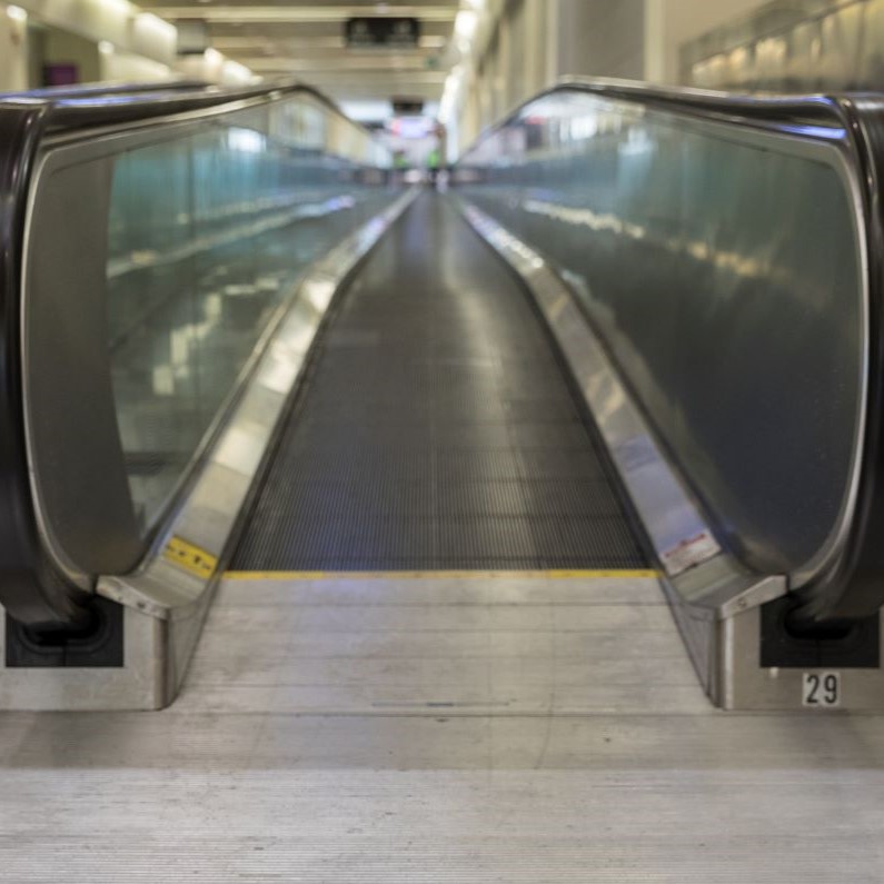 walkway isn’t working, an IoT will send an alert to the Facilities team, enabling them to address maintenance issues in a timely and efficient manner.
The installation process for IoTs includes choosing the right device for its environment. Data integration is available which allows for connection with other applications like E-builder, Cityworks, and ESRI.
Equipment Tracking to Improve Efficiency
PHL’s Facilities team wanted a system to track equipment. Working with GIS, the airport partnered with Trackem GPS, a company that offers hardware, software, and data services
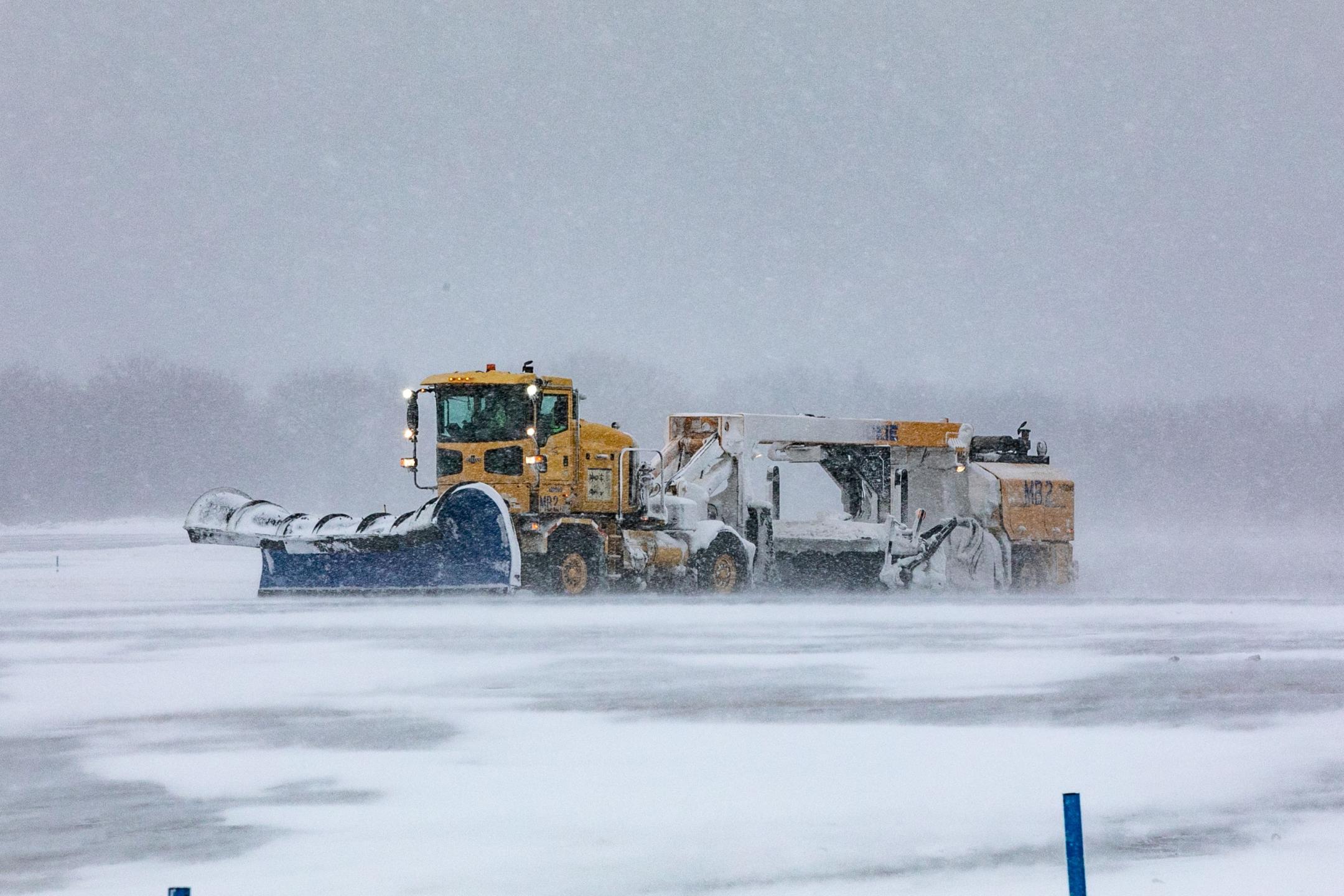
designed for airports. The Trackem Solo Tracker uses GPS outdoors and Wi-Fi indoors to help airport staff accurately monitor the location of equipment. The new asset also features geofencing, which allows the airport to set virtual boundaries around specific areas where equipment is allowed to operate and receive alerts to prevent the loss or misuse of assets. This tracking system includes a dashboard where staff can easily check real-time information about the location and condition of the equipment on both desktop computers and mobile devices. In addition to geofencing, the system provides customizable notifications for various events, such as when maintenance is overdue, or when a piece of equipment has been idle for too long which helps the airport maintain its commitment to reducing fuel consumption and promote eco-friendly operations. Tracking devices have also been added to PHL’s and PNE’s snow removal equipment to improve efficiency. The Trackem Wired Tracker, powered by the equipment's battery, sends a ping every 30 seconds while in motion. GPS tracking provides accurate real-time and historical data on routes, distance, time, and other specifics related to completed snow removal work.
This new system will replace spreadsheets and tables, allowing staff to quickly see key information and make operations more efficient. The main purpose of the dashboard is to display real-time information about stationary and moving equipment. This server takes the data to ArcGIS Enterprise Portal and creates maps, organized for easy reading.
In the future, the Department of Aviation is considering adding more features to the tracking system, such as wheelchairs and various maintenance tools, to further enhance operations.